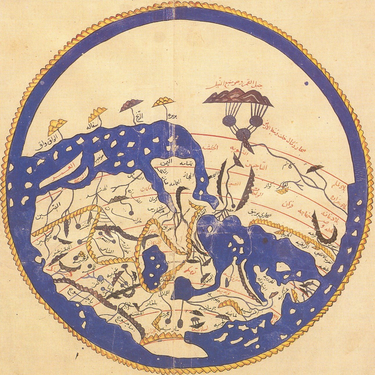
A map dating from 1154 CE by Moroccan cartographer al Idrisi for King Roger of Sicily. South is oriented at the top of the page, placing Europe in the lower half of the page.
Perhaps you’ve seen McArthur’s Universal Corrective Map of the World where the southern hemisphere appears on the top and the northern below. In the western world, the vision of a world map where the north is at the top with the Americas on the left and Eurasia to the right seems unquestionable. However, as a recent article on Aljazeera America points out, this convention is relatively new. For instance, the Egyptians placed south at the top and, for quite a while in Middle Ages, European cartographers placed east at the top of the page. So how did the north end up at the top of the page? Some theorize that the compass influenced this choice while others argue that a Eurocentric bias is at the route. However, there are issues with both ideas and it was likely a mixture of influences that contributed to our modern north-on-top maps.